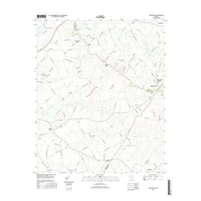
2017 Map of High Shoals
USGS Topo · Published 2017About this map
The Apalachee River carves a winding path through this region where Walton, Oconee, and Morgan counties meet. In the north, the river forms the distinctive Horseshoe Bend before flowing south past Snows Mill and toward the twin settlements of North High Shoals and High Shoals. The landscape is defined by its deep genealogical roots, marked by numerous family and community burial grounds including Hillsboro Cem, Ross Chapel Cem, and McGaughey Cem. These landmarks, along with many others like Carlton Cem and Stark Cem, offer a detailed map of the area's ancestral settlement patterns.
Find a feature on this map
128 named features on this map. Tap any name to fly to it.
Don’t see what you’re looking for? This feature index may not catch every label — zoom into the map to look around manually.
Map Details
Editions of this 2017 High Shoals Map
This is the sole edition of this map. No revisions or reprints were ever made.
Other maps of this area

1896 · Monroe
USGS Topo · 1:125,000

1953 · Athens
USGS Topo · 1:250,000

1958 · Athens
USGS Topo · 1:250,000

1959 · Athens
USGS Topo · 1:250,000

1963 · Athens
USGS Topo · 1:250,000

1964 · Athens West
USGS Topo · 1:24,000

1964 · High Shoals
USGS Topo · 1:24,000

1964 · Watkinsville
USGS Topo · 1:24,000

1964 · Monroe
USGS Topo · 1:24,000

1964 · Winder South
USGS Topo · 1:24,000