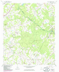
2024 Map of High Shoals
USGS Topo · Published 2024About this map
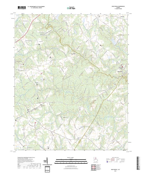
The Apalachee River and Jacks Creek define the drainage and development patterns across this section of Walton, Oconee, and Morgan counties. The landscape is characterized by its agricultural roots and scattered rural settlements like Good Hope and Snows Mill. Genealogists will find a dense concentration of family and community burial grounds, including the Carlton Family Cem, Stark Cem, and McGaughey Cem. These landmarks, often situated near historic congregations like the Bethel Baptist Church, offer a clear picture of the area's local history and lineage.
Find a feature on this map
126 named features on this map. Tap any name to fly to it.
Don’t see what you’re looking for? This feature index may not catch every label — zoom into the map to look around manually.
Map Details
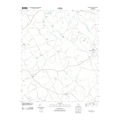
Editions of this 2024 High Shoals Map
This is the sole edition of this map. No revisions or reprints were ever made.
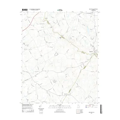
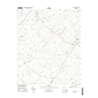
Historical Maps of North High Shoals Through Time
6 maps found