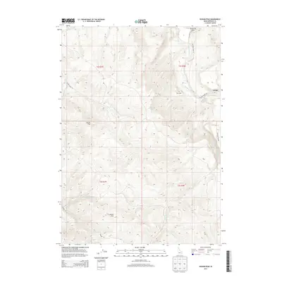
2013 Map of Higham Peak
USGS Topo · Published 2013About this map
Higham Peak and Garden Peak dominate this landscape in eastern Bingham County, where the high mountain terrain is cut by deep drainages and canyon systems. The Blackfoot River flows through the northeast, carving its path alongside Wolverine Canyon and the settlement of Alridge. This area shows a pattern of high-altitude water management, visible in the Little Indian Ditch and numerous seasonal creeks like N Fork Cold Cr and S Fork Cold Cr. Transportation is limited to a few arterial routes such as Blackfoot River Rd and Garden Creek Rd, reflecting the difficulty of the topography. The presence of Cove Spring and The Cove suggest natural gathering points for water in an otherwise steep and elevated region, providing essential resources for the small settlements and ranching interests that have historically occupied these Idaho highlands.
Find a feature on this map
22 named features on this map. Tap any name to fly to it.
Don’t see what you’re looking for? This feature index may not catch every label — zoom into the map to look around manually.
Map Details
Editions of this 2013 Higham Peak Map
This is the sole edition of this map. No revisions or reprints were ever made.
Other maps of this area
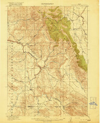
1918 · Paradise Valley
USGS Topo · 1:62,500
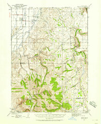
1924 · Ammon
USGS Topo · 1:62,500
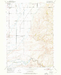
1950 · Goshen
USGS Topo · 1:24,000
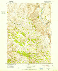
1951 · Higham Peak
USGS Topo · 1:24,000
1952 · Goshen
USGS Topo · 1:24,000
1955 · Lincoln Creek
USGS Topo · 1:24,000
1955 · Firth
USGS Topo · 1:24,000
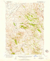
1955 · Yandell Springs
USGS Topo · 1:62,500
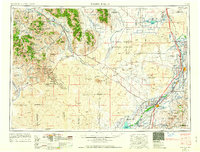
1955 · Idaho Falls
USGS Topo · 1:250,000

1955 · Driggs
USGS Topo · 1:250,000