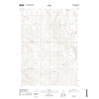
2020 Map of Higham Peak
USGS Topo · Published 2020About this map
Higham Peak and Garden Peak dominate this corner of Bingham County, where the high country is defined by a network of drainage creeks and historical trails. The small settlement of Alridge sits near the eastern edge, positioned where Cedar Cr meets the larger drainage systems. The landscape is marked by the rugged transit of the Portneuf Presto Trail Rd, which winds across the high ridges, suggesting a long history of passage through these mountains.
Find a feature on this map
23 named features on this map. Tap any name to fly to it.
Don’t see what you’re looking for? This feature index may not catch every label — zoom into the map to look around manually.
Map Details
Editions of this 2020 Higham Peak Map
This is the sole edition of this map. No revisions or reprints were ever made.
Other maps of this area

1918 · Paradise Valley
USGS Topo · 1:62,500

1924 · Ammon
USGS Topo · 1:62,500

1950 · Goshen
USGS Topo · 1:24,000

1951 · Higham Peak
USGS Topo · 1:24,000

1952 · Goshen
USGS Topo · 1:24,000

1955 · Lincoln Creek
USGS Topo · 1:24,000

1955 · Firth
USGS Topo · 1:24,000

1955 · Yandell Springs
USGS Topo · 1:62,500

1955 · Idaho Falls
USGS Topo · 1:250,000

1955 · Driggs
USGS Topo · 1:250,000