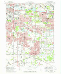
1968 Map of Highland
USGS Topo · Published 1971About this map
Industrial and residential expansion defines the landscape between Gary and Hammond during the late 1960s. The dense corridor of the Indiana Harbor Belt RR and Penn Central tracks underscores the region's reliance on rail transport, while the newly established Tri-State Highway and interchanges like the Cline Ave Interchange signal the shift toward modern automotive infrastructure. The map reveals the local social fabric through numerous parochial schools, including St Johns Sch and Our Lady of Grace Sch, and the presence of the Purdue University (Calumet Center).
Find a feature on this map
101 named features on this map. Tap any name to fly to it.
Don’t see what you’re looking for? This feature index may not catch every label — zoom into the map to look around manually.
Map Details
Editions of this 1968 Highland Map
Other maps of this area

1892 · Calumet
USGS Topo · 1:62,500

1893 · Calumet
USGS Topo · 1:62,500

1900 · Toleston
USGS Topo · 1:62,500

1900 · Calumet
USGS Topo · 1:62,500

1901 · Calumet
USGS Topo · 1:62,500

1929 · Calumet Lake
USGS Topo · 1:24,000

1929 · Calumet City
USGS Topo · 1:24,000

1929 · Dyer
USGS Topo · 1:24,000

1930 · Dyer
USGS Topo · 1:24,000

1949 · Crete
USGS Topo · 1:62,500