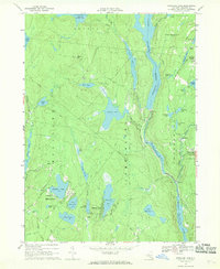
1967 Map of Highland Lake
USGS Topo · Published 1969About this map
Swinging Bridge Reservoir and the Mongaup Reservoir dominate this mid-century landscape in Sullivan County, reflecting the mid-20th-century reliance on the Mongaup River system for hydroelectric power. The map illustrates a transition between seasonal recreation and small rural crossroads, with the community of Highland Lake featuring a Golf Course and the nearby St Bernadine church. Further east, the settlement of Forestburg sits near the Forestburg Cemetery, marking a long-established center of local history.
Find a feature on this map
59 named features on this map. Tap any name to fly to it.
Don’t see what you’re looking for? This feature index may not catch every label — zoom into the map to look around manually.
Map Details
Editions of this 1967 Highland Lake Map
2 editions found
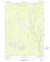
Other maps of this area

1906 · Port Jervis
USGS Topo · 1:62,500

1908 · Port Jervis
USGS Topo · 1:62,500

1909 · Monticello
USGS Topo · 1:62,500

1911 · Monticello
USGS Topo · 1:62,500

1913 · Milford
USGS Topo · 1:62,500

1915 · Milford
USGS Topo · 1:62,500

1922 · White Lake
USGS Topo · 1:62,500

1942 · White Lake
USGS Topo · 1:62,500

1942 · Port Jervis North
USGS Topo · 1:24,000
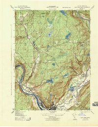
1943 · Port Jervis North
USGS Topo · 1:31,680