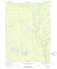
1967 Map of Highland Lake
USGS Topo · Published 1990About this map
Highland Lake and its surrounding summer colonies define this Sullivan County landscape during the late 1960s. The region is a dense network of water bodies and recreational tracts, where larger impoundments like Swinging Bridge Reservoir and Toronto Reservoir provide power and water management while smaller ponds like Lake DeVenoge and Lake Champion host private communities. On Chapin Hill, a Lookout Tower stands above a terrain carved by numerous brooks and pipelines.
Find a feature on this map
73 named features on this map. Tap any name to fly to it.
Don’t see what you’re looking for? This feature index may not catch every label — zoom into the map to look around manually.
Map Details
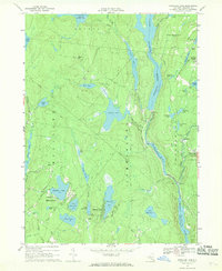
Editions of this 1967 Highland Lake Map
2 editions found
Other maps of this area

1906 · Port Jervis
USGS Topo · 1:62,500

1908 · Port Jervis
USGS Topo · 1:62,500

1909 · Monticello
USGS Topo · 1:62,500

1911 · Monticello
USGS Topo · 1:62,500

1913 · Milford
USGS Topo · 1:62,500

1915 · Milford
USGS Topo · 1:62,500

1922 · White Lake
USGS Topo · 1:62,500

1942 · White Lake
USGS Topo · 1:62,500

1942 · Port Jervis North
USGS Topo · 1:24,000
1943 · Port Jervis North
USGS Topo · 1:31,680