2022 Map of Highland NW
USGS Topo · Published 2022About this map
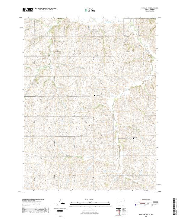
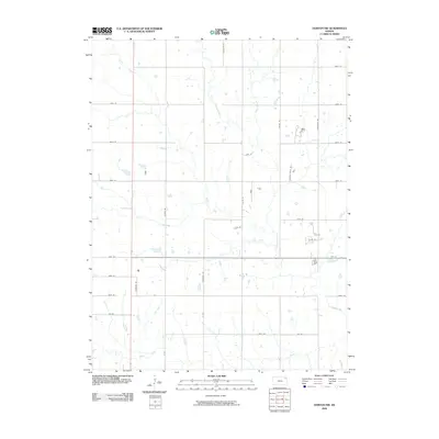
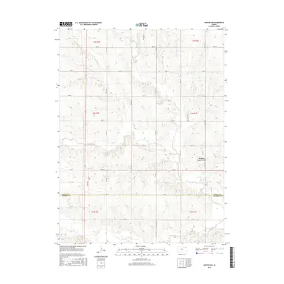
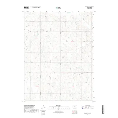
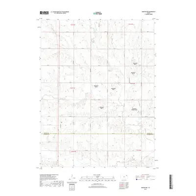
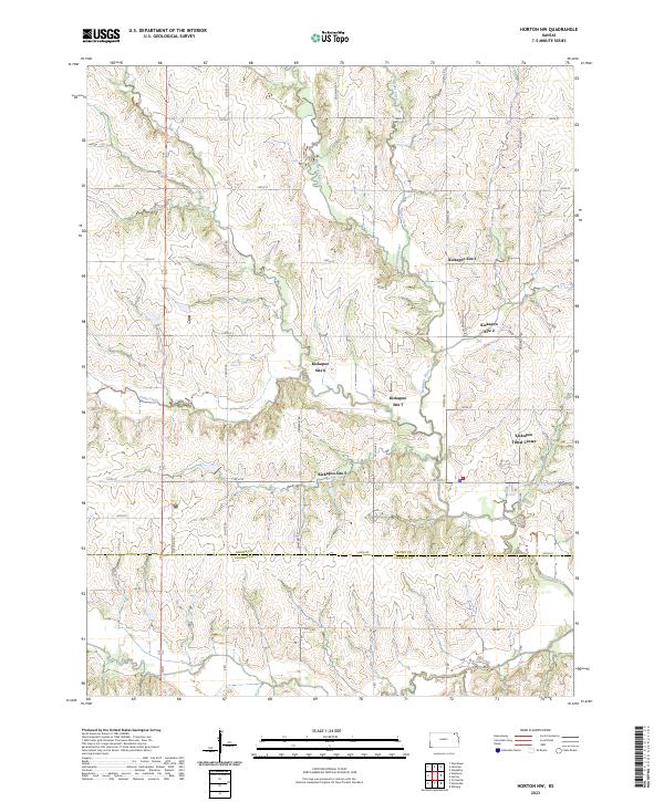
Noharts Cr and the Old Channel Big Nemaha River define the northern drainages of this Kansas landscape, reflecting the natural hydrography of the region bordering the Nebraska line. The topography is etched by a series of creeks including Roys Cr and Lost Shirt Cr, which cut through the agricultural sections of t1s r17e and t1s r18e. For those researching family history in Brown County, several local burial grounds are preserved on this survey, including Laus Creek Cem in the northwest and Pleasant Hill Cem near the center. The map's grid is dominated by a systematic network of section roads like Mulberry Rd and Raccoon Rd, providing a clear view of the rural settlement patterns and property divisions established by the Public Land Survey System.
Find a feature on this map
34 named features on this map. Tap any name to fly to it.
Don’t see what you’re looking for? This feature index may not catch every label — zoom into the map to look around manually.
Map Details
Editions of this 2022 Highland NW Map
This is the sole edition of this map. No revisions or reprints were ever made.
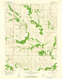
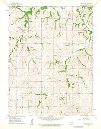
Historical Maps of Brown County Through Time
12 maps found
1960 Horton NW
Brown County, KS
1961 Highland NW
Brown County, KS
2009 Highland NW
Brown County, KS
2009 Horton NW
Brown County, KS
2012 Highland NW
Brown County, KS
2012 Horton NW
Brown County, KS
2016 Highland NW
Brown County, KS
2016 Horton NW
Brown County, KS
2018 Highland NW
Brown County, KS
2018 Horton NW
Brown County, KS
2022 Highland NW
Brown County, KS
2023 Horton NW
Brown County, KS