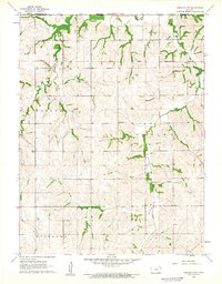
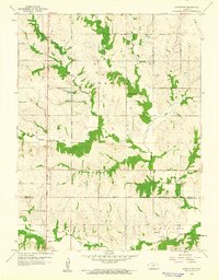
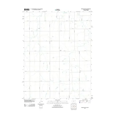
1961 Map of Highland NW
USGS Topo · Published 1962About this map
The Iowa Sac and Fox Indian Reservation Boundary cuts across the northern landscape of this Kansas-Nebraska border region, marking a significant historical jurisdictional line that remains a defining feature of the local geography. The terrain is deeply etched by the drainage patterns of Roys Creek and the meandering path of the Old Channel Nemaha River to the north. These natural corridors shaped the placement of early rural institutions, including the Mt Zion Ch and schools like Shore Sch and Bellvue Sch. Small pockets of industrial activity are evidenced by a Gravel Pit near the eastern boundary. The map documents a structured agrarian society organized into townships like Padonia, Irving, and Hiawatha, where established sites such as the Kenyon Cem serve as vital markers for local family histories and genealogical research.
Find a feature on this map
14 named features on this map. Tap any name to fly to it.
Don’t see what you’re looking for? This feature index may not catch every label — zoom into the map to look around manually.
Map Details
Editions of this 1961 Highland NW Map
This is the sole edition of this map. No revisions or reprints were ever made.
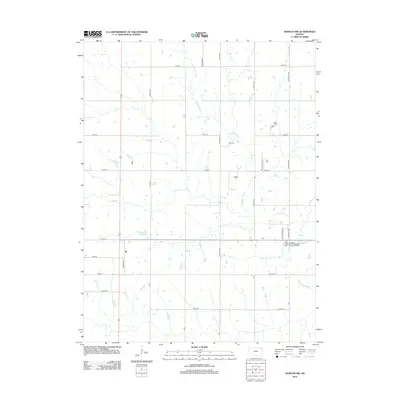
Historical Maps of Brown County Through Time
12 maps found
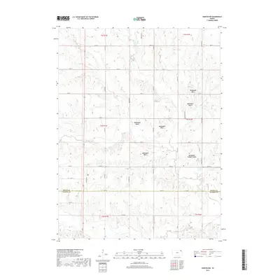
1960 Horton NW
Brown County, KS
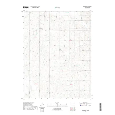
1961 Highland NW
Brown County, KS
2009 Highland NW
Brown County, KS
2009 Horton NW
Brown County, KS
2012 Highland NW
Brown County, KS
2012 Horton NW
Brown County, KS
2016 Highland NW
Brown County, KS
2016 Horton NW
Brown County, KS
2018 Highland NW
Brown County, KS
2018 Horton NW
Brown County, KS
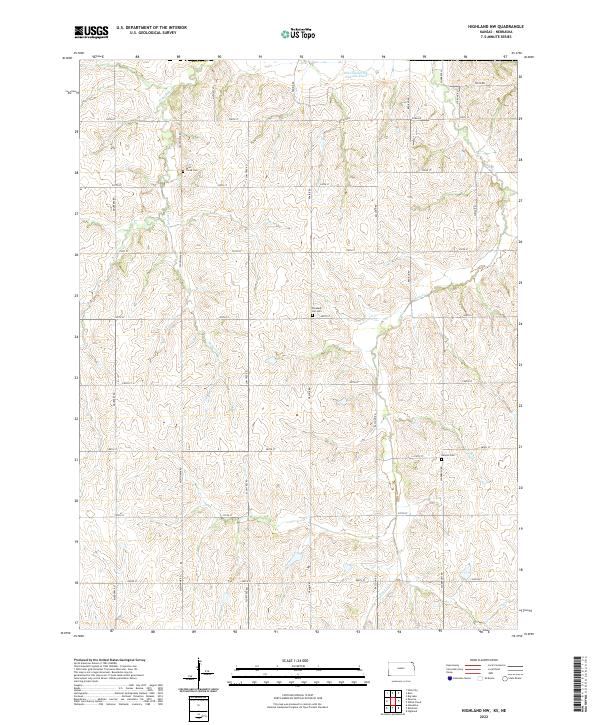
2022 Highland NW
Brown County, KS
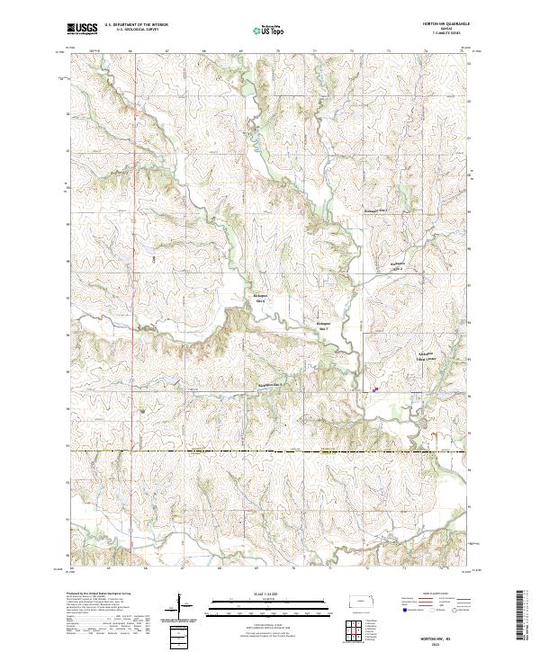
2023 Horton NW
Brown County, KS