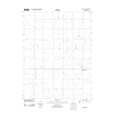
2012 Map of Horton NW
USGS Topo · Published 2012About this map
The Delaware River meanders southward through this section of Brown County, forming the primary drainage corridor for the surrounding agricultural landscape. Fed by tributaries including Craig Cr and Squaw Cr, the river basin defines the local topography, which is otherwise organized by a strict cardinal grid of rural roads. This 2012 survey illustrates the modern tribal infrastructure of the region, specifically marking the Kickapoo Tribe Wastewater Treatment Facility located near the intersection of Golden Eagle Rd and 110th St. The road network, bearing names such as Coyote Rd, Dogwood Rd, and Foxtail Rd, reflects a landscape deeply committed to agricultural production while maintaining essential tribal services.
Find a feature on this map
27 named features on this map. Tap any name to fly to it.
Don’t see what you’re looking for? This feature index may not catch every label — zoom into the map to look around manually.
Map Details
Editions of this 2012 Horton NW Map
This is the sole edition of this map. No revisions or reprints were ever made.
Other maps of this area

1888 · Hiawatha
USGS Topo · 1:125,000

1894 · Hiawatha
USGS Topo · 1:125,000

1950 · Kansas City
USGS Topo · 1:250,000

1954 · Kansas City
USGS Topo · 1:250,000

1956 · Kansas City
USGS Topo · 1:250,000

1960 · Kansas City
USGS Topo · 1:250,000

1960 · Fairview
USGS Topo · 1:24,000
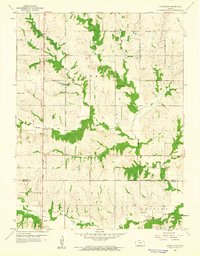
1960 · Horton NW
USGS Topo · 1:24,000
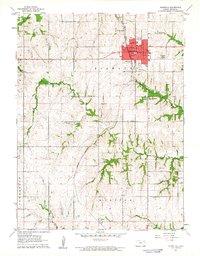
1961 · Hiawatha
USGS Topo · 1:24,000
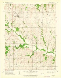
1961 · Netawaka
USGS Topo · 1:24,000