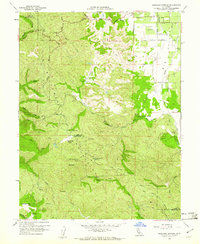
1959 Map of Highland Springs
USGS Topo · Published 1961About this map
The Mayacmas Mountains dominate this landscape along the Lake Co Mendocino Co border during the late 1950s. The terrain is defined by dramatic elevation changes, where high ridges like Cloverdale Peak and Monument Peak overlook narrow basins such as Donovan Valley and High Valley. The eastern portion of the sheet opens into Big Valley, revealing a more developed agrarian and community structure centered around the Big Valley Community Center and the Lampson Airport.
Find a feature on this map
37 named features on this map. Tap any name to fly to it.
Don’t see what you’re looking for? This feature index may not catch every label — zoom into the map to look around manually.
Map Details
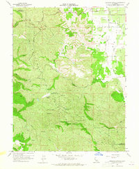
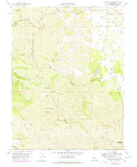
Editions of this 1959 Highland Springs Map
3 editions found
Other maps of this area

1920 · Ukiah
USGS Topo · 1:62,500

1921 · Kelseyville
USGS Topo · 1:62,500

1938 · Lakeport
USGS Topo · 1:62,500

1938 · Hopland
USGS Topo · 1:62,500

1943 · Kelseyville
USGS Topo · 1:62,500

1943 · Hopland
USGS Topo · 1:62,500

1944 · Ukiah
USGS Topo · 1:62,500

1944 · Hopland
USGS Topo · 1:62,500

1947 · Santa Rosa
USGS Topo · 1:250,000

1949 · Santa Rosa
USGS Topo · 1:250,000