2012 Map of Highlandville
USGS Topo · Published 2012About this map
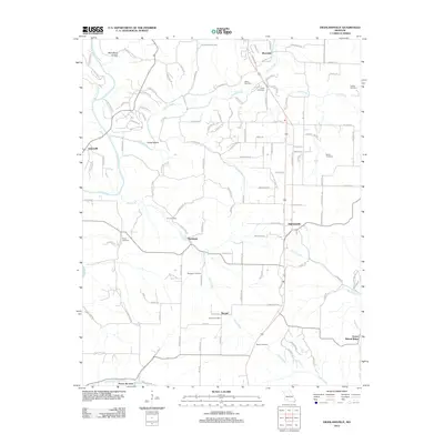
Finley Creek and its many tributaries, including Hog Creek and Tory Creek, shape the settlement pattern of this Missouri landscape. The community of Highlandville sits at a major crossroads near the center of the sheet, while smaller hamlets like Riverdale, Jamesville, and Montague are distributed among the hollows and river bends. The area is dense with family-named landmarks and historical burial sites, such as Glenn Cemetery, Jones Cemetery, and Lebow Cemetery, which serve as vital markers for local genealogy. The map reveals a transition in land use, where rugged terrain features like McCafferty Hollow and Craig Hollow meet a growing network of residential drives and local roads. In the southern portion of the quadrangle, the settlements of Bengal, Green, and Mound Ridge illustrate the traditional rural spacing of the region along the waters of Woods Fork and Camp Creek.
Find a feature on this map
125 named features on this map. Tap any name to fly to it.
Don’t see what you’re looking for? This feature index may not catch every label — zoom into the map to look around manually.
Map Details
Editions of this 2012 Highlandville Map
This is the sole edition of this map. No revisions or reprints were ever made.
Other maps of this area

1884 · Springfield
USGS Topo · 1:125,000

1886 · Springfield
USGS Topo · 1:125,000

1907 · Forsyth
USGS Topo · 1:125,000

1937 · Ozark
USGS Topo · 1:48,000

1943 · Ozark
USGS Topo · 1:62,500

1945 · Harrison
USGS Topo · 1:250,000

1945 · Ozark
USGS Topo · 1:62,500

1949 · Harrison
USGS Topo · 1:250,000

1954 · Harrison
USGS Topo · 1:250,000

1954 · Springfield
USGS Topo · 1:250,000