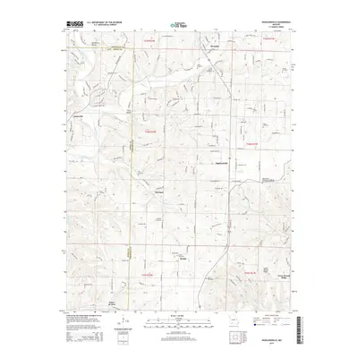
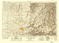
2015 Map of Highlandville
USGS Topo · Published 2015About this map
Highlandville and its surrounding Ozark terrain are defined by the convergence of several major water systems, including the James River and Finley Cr. This 2015 survey reveals a landscape of complex hollows and ridges, such as McCafferty Hollow and Green Mound Ridge, where small settlements like Montague and Bengal are situated. The area is particularly dense with family and community burial grounds, providing a significant genealogical resource. From the Highlandville Independent Order of Odd Fellows Cemetery to the Mayberry Cemetery and Jones Chastain Cemetery, these sites mark the long-standing family lineages of Christian County and Stone County. The transition from river bottomlands to higher ridges is traced by a network of local roads such as W Riverdale Dr and S Nicholas Rd, connecting historic communities like Riverdale and the spring-fed area near Ponce de Leon.
Find a feature on this map
155 named features on this map. Tap any name to fly to it.
Don’t see what you’re looking for? This feature index may not catch every label — zoom into the map to look around manually.
Map Details
Editions of this 2015 Highlandville Map
This is the sole edition of this map. No revisions or reprints were ever made.
Other maps of this area
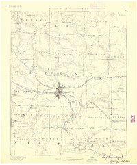
1884 · Springfield
USGS Topo · 1:125,000
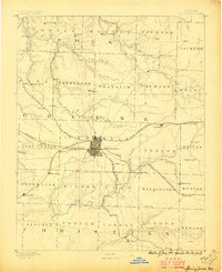
1886 · Springfield
USGS Topo · 1:125,000
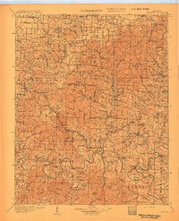
1907 · Forsyth
USGS Topo · 1:125,000
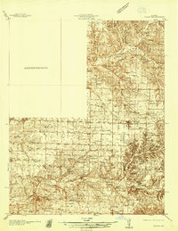
1937 · Ozark
USGS Topo · 1:48,000
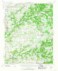
1943 · Ozark
USGS Topo · 1:62,500

1945 · Harrison
USGS Topo · 1:250,000
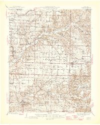
1945 · Ozark
USGS Topo · 1:62,500

1949 · Harrison
USGS Topo · 1:250,000
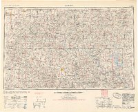
1954 · Harrison
USGS Topo · 1:250,000
1954 · Springfield
USGS Topo · 1:250,000