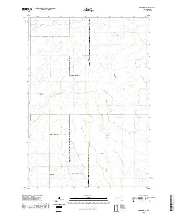
2021 Map of Highmore NE
USGS Topo · Published 2021About this map
Hyde Co Hand Co marks a central boundary in this region of South Dakota, where the landscape is defined by the subtle drainage of Lost Cr in the northeast. The terrain is a vast expanse of prairie wetlands and depressions, networked by a strict grid of section-line roads such as Co Rd 775 and 345th Ave. This survey illustrates the sparse, high-plains agriculture of the early 21st century, with land divided into large townships including t115n r71w and t114n r70w. The intricate placement of seasonal wetlands across the township lines reveals the natural hydrology that governs local land use and road placement, such as the path of Co Rd 154.
Find a feature on this map
17 named features on this map. Tap any name to fly to it.
Don’t see what you’re looking for? This feature index may not catch every label — zoom into the map to look around manually.
Map Details
Editions of this 2021 Highmore NE Map
This is the sole edition of this map. No revisions or reprints were ever made.
Other maps of this area

1949 · Ree Heights NW
USGS Topo · 1:24,000

1949 · Mitchell Lake
USGS Topo · 1:24,000

1950 · Highmore NE
USGS Topo · 1:24,000

1950 · Mitchell Lake
USGS Topo · 1:24,000

1950 · Highmore
USGS Topo · 1:24,000

1950 · Ree Heights
USGS Topo · 1:24,000

1950 · Highmore SE
USGS Topo · 1:24,000

1950 · Rezac Lake
USGS Topo · 1:24,000

1951 · Rice Lake
USGS Topo · 1:24,000

1951 · Ree Heights NW
USGS Topo · 1:24,000