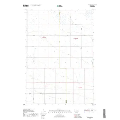
2017 Map of Highmore SE
USGS Topo · Published 2017About this map
The county boundary between Hyde Co and Hand Co bisects this section of South Dakota prairie, where a complex network of wetlands and seasonal drainages defines the rural landscape. Much of the terrain is shaped by the wandering paths of Wolf Creek and Little Wolf Creek, which meander through the townships of t113n r71w and t112n r70w. The map reveals a strictly regulated grid of section lines and gravel roads, such as 192nd St and 344th Ave, which serve the dispersed agricultural homesteads of the region. This 2017 survey shows the persistence of traditional land divisions, with large tracts of open land punctuated by small potholes and marshes characteristic of the Missouri Coteau. Local transit is managed through a combination of numbered county routes like Co Rd 45 and Co Rd 959, which connect the remote farmsteads to the wider regional infrastructure.
Find a feature on this map
21 named features on this map. Tap any name to fly to it.
Don’t see what you’re looking for? This feature index may not catch every label — zoom into the map to look around manually.
Map Details
Editions of this 2017 Highmore SE Map
This is the sole edition of this map. No revisions or reprints were ever made.
Other maps of this area
1949 · Ree Heights NW
USGS Topo · 1:24,000
1949 · Mitchell Lake
USGS Topo · 1:24,000
1950 · Highmore NE
USGS Topo · 1:24,000
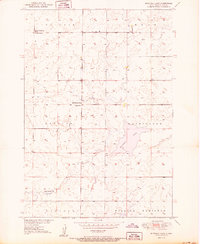
1950 · Mitchell Lake
USGS Topo · 1:24,000
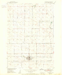
1950 · Highmore
USGS Topo · 1:24,000
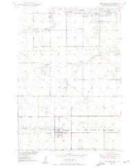
1950 · Ree Heights
USGS Topo · 1:24,000
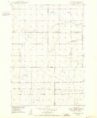
1950 · Highmore SE
USGS Topo · 1:24,000
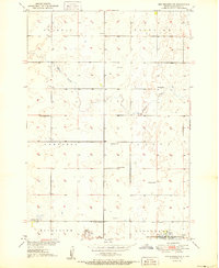
1951 · Ree Heights NW
USGS Topo · 1:24,000
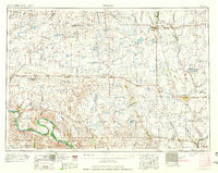
1953 · Huron
USGS Topo · 1:250,000
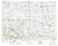
1954 · Huron
USGS Topo · 1:250,000