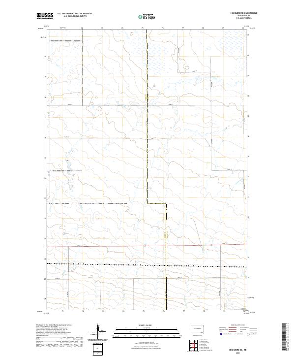
2021 Map of Highmore SE
USGS Topo · Published 2021About this map
The high plains along the Hyde Co Hand Co line are defined by a network of drainage channels and section-line roads. This landscape is dominated by the meandering course of Wolf Cr in the northwest and its smaller counterpart, Little Wolf Cr, which drains the southeast. The terrain exhibits a rigid grid system of county routes, including Co Rd 960 which tracks the county boundary, and a series of numbered east-west corridors such as 193rd St and 198th St. These roads reflect the systematic division of agricultural land in Central South Dakota. The survey reveals a sparsely settled region where the movement of water across the prairie determines the local topography, providing a detailed look at the rural infrastructure between Township 113 North Range 71 West and Township 112 North Range 70 West.
Find a feature on this map
22 named features on this map. Tap any name to fly to it.
Don’t see what you’re looking for? This feature index may not catch every label — zoom into the map to look around manually.
Map Details
Editions of this 2021 Highmore SE Map
This is the sole edition of this map. No revisions or reprints were ever made.
Other maps of this area

1949 · Ree Heights NW
USGS Topo · 1:24,000

1949 · Mitchell Lake
USGS Topo · 1:24,000

1950 · Highmore NE
USGS Topo · 1:24,000

1950 · Mitchell Lake
USGS Topo · 1:24,000

1950 · Highmore
USGS Topo · 1:24,000

1950 · Ree Heights
USGS Topo · 1:24,000

1950 · Highmore SE
USGS Topo · 1:24,000

1951 · Ree Heights NW
USGS Topo · 1:24,000

1953 · Huron
USGS Topo · 1:250,000

1954 · Huron
USGS Topo · 1:250,000