
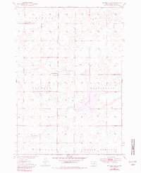
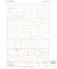
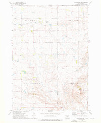
1950 Map of Highmore SE
USGS Topo · Published 1950This historical map portrays the area of Highmore SE in 1950, primarily covering Hyde County as well as portions of Hand County. Featuring a scale of 1:24000, this map provides a highly detailed snapshot of the terrain, roads, buildings, counties, and historical landmarks in the Highmore SE region at the time. Published in 1950, it is the sole known edition of this map.
Find a feature on this map
12 named features on this map. Tap any name to fly to it.
Don’t see what you’re looking for? This feature index may not catch every label — zoom into the map to look around manually.
Map Details
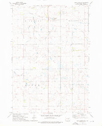
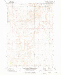
Editions of this 1950 Highmore SE Map
This is the sole edition of this map. No revisions or reprints were ever made.
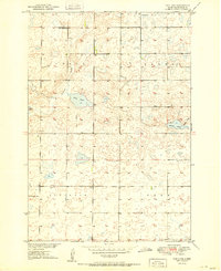
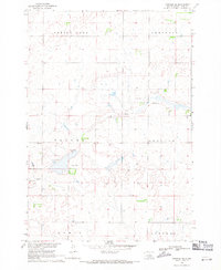
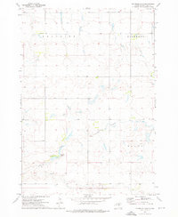
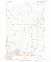
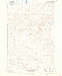
Historical Maps of Hyde County Through Time
14 maps found
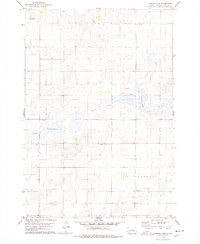
1949 Mitchell Lake
Hyde County, SD
1950 Highmore SE
Hyde County, SD
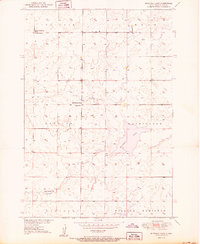
1950 Mitchell Lake
Hyde County, SD
1951 Rice Lake
Hyde County, SD

1966 Lower Brule NE
Hyde County, SD
1968 Harrold NE
Hyde County, SD
1968 Holabird
Hyde County, SD
1973 Chapelle Lake
Hyde County, SD
1973 Chapelle Lake SE
Hyde County, SD
1973 Macs Corner
Hyde County, SD
1973 Macs Corner NE
Hyde County, SD
1973 Macs Corner NW
Hyde County, SD
1973 Macs Corner SE
Hyde County, SD
1978 Thomas Lake
Hyde County, SD