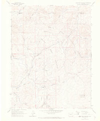
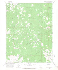
1963 Map of Hightower Mountain
USGS Topo · Published 1967About this map
White River National Forest and Grand Mesa National Forest meet in this high-country survey, which documents the administrative and natural landscape along the boundary of Garfield and Mesa counties. The 1963 field check records a remote area defined by a network of drainage systems, including Buzzard Creek, Cheney Creek, and East Mamm Creek. While primarily undeveloped forest land, the map highlights the infrastructure of the era through the Hightower Guard Station and the Buzzard Campground, alongside emerging energy interests indicated by several Gas Wells and a prominent Pipeline.
Find a feature on this map
30 named features on this map. Tap any name to fly to it.
Don’t see what you’re looking for? This feature index may not catch every label — zoom into the map to look around manually.
Map Details
Editions of this 1963 Hightower Mountain Map
4 editions found
Other maps of this area

1955 · The Meadows
USGS Topo · 1:24,000

1957 · Leadville
USGS Topo · 1:250,000

1959 · Leadville
USGS Topo · 1:250,000

1960 · Leadville
USGS Topo · 1:250,000

1960 · North Mamm Peak
USGS Topo · 1:24,000

1960 · South Mamm Peak
USGS Topo · 1:24,000

1961 · Porter Mountain
USGS Topo · 1:24,000

1961 · Spruce Mountain
USGS Topo · 1:24,000

1962 · Leadville
USGS Topo · 1:250,000
1963 · Flatiron Mountain
USGS Topo · 1:24,000