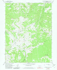
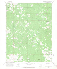
1963 Map of Hightower Mountain
USGS Topo · Published 1982About this map
Grand Mesa National Forest and the White River National Forest meet at a jurisdictional boundary on this 1963 survey, which documents a high-country landscape shaped by resource extraction and forest management. Early energy development is evident through numerous Gas Wells and a Pipeline cutting through the terrain, while the Hightower Guard Station and Buzzard Campground mark the human footprint within the timberlands. The hydrology of the area is complex, defined by drainage systems such as Buzzard Creek, Hightower Creek, and East Mamm Creek, which flow through deep gulches and across high plateaus like Sunflower Flat. Dominating the southeastern quadrant is the summit of Hightower Mountain, while the northern reaches include Mud Hill and the headwaters of West Branch Dry Hollow.
Find a feature on this map
33 named features on this map. Tap any name to fly to it.
Don’t see what you’re looking for? This feature index may not catch every label — zoom into the map to look around manually.
Map Details
Editions of this 1963 Hightower Mountain Map
4 editions found
Other maps of this area

1955 · The Meadows
USGS Topo · 1:24,000

1957 · Leadville
USGS Topo · 1:250,000

1959 · Leadville
USGS Topo · 1:250,000

1960 · Leadville
USGS Topo · 1:250,000

1960 · North Mamm Peak
USGS Topo · 1:24,000

1960 · South Mamm Peak
USGS Topo · 1:24,000

1961 · Porter Mountain
USGS Topo · 1:24,000

1961 · Spruce Mountain
USGS Topo · 1:24,000

1962 · Leadville
USGS Topo · 1:250,000
1963 · Flatiron Mountain
USGS Topo · 1:24,000