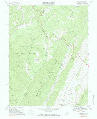
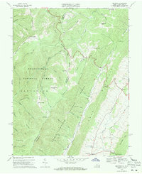
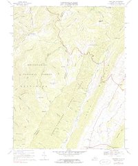
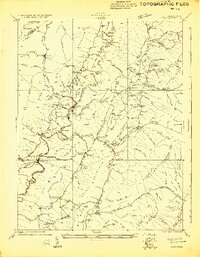
1969 Map of Hightown
USGS Topo · Published 1982About this map
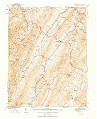
Monongahela National Forest and George Washington National Forest meet along the high ridges of the Virginia and West Virginia border in this 1969 survey. The terrain is defined by the Eastern Continental Divide, with headwaters of the Jackson River and Back Creek carving deep valleys between North Fork Mountain and Monterey Mtn. The small settlement of Hightown sits near the summit of the divide, a point where water flows toward both the Atlantic and the Gulf of Mexico. Local history is preserved in the location of the Pisgah Ch and scattered Cem sites near Meadowdale, reflecting a landscape of high-altitude agriculture and timber. The map details a network of forest boundaries and jeep trails crossing over Vanderpool Gap and up to the Top of Allegheny, documenting the remote road systems of the late 1960s.
Find a feature on this map
54 named features on this map. Tap any name to fly to it.
Don’t see what you’re looking for? This feature index may not catch every label — zoom into the map to look around manually.
Map Details
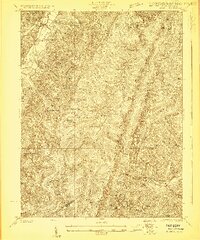
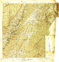
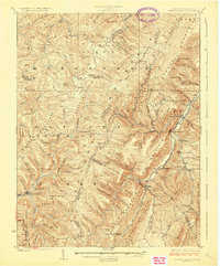
Editions of this 1969 Hightown Map
3 editions found
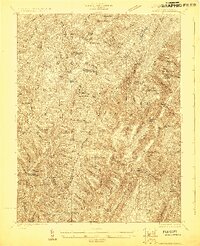
Other maps of this area

1889 · Beverly
USGS Topo · 1:125,000

1892 · Beverly
USGS Topo · 1:125,000

1901 · Monterey
USGS Topo · 1:125,000
1922 · Spruce Knob
USGS Topo · 1:48,000
1922 · Cass
USGS Topo · 1:48,000
1922 · Durbin
USGS Topo · 1:48,000
1924 · Cass
USGS Topo · 1:62,500

1924 · Durbin
USGS Topo · 1:62,500
1924 · Spruce Knob
USGS Topo · 1:62,500
1941 · Monterey
USGS Topo · 1:62,500