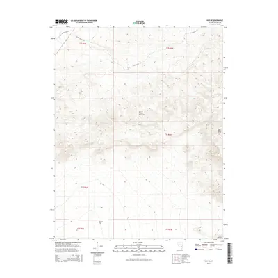
2014 Map of Hiko NE
USGS Topo · Published 2014About this map
The White River cuts through the northwest corner of this basin-and-range landscape, where high-desert terrain is defined by the Spur of Pahrock Mountains and the North Pahroc Range. This 2014 survey documents a network of primitive corridors such as Old White River Rd and Little Boulder Rd, which trace the low-lying areas between rocky elevations. To the south, the expansive Sixmile Flat stretches across the valley floor, providing a stark contrast to the surrounding ridges of the Pahroc Range. The map illustrates the complex Public Land Survey System divisions, including Township 2 South, Range 61 East and others, reflecting the systematic grid used to manage this section of Lincoln County. This area represents the arid transition between elevated mountain spurs and the vast, dry alkaline flats characteristic of the region.
Find a feature on this map
13 named features on this map. Tap any name to fly to it.
Don’t see what you’re looking for? This feature index may not catch every label — zoom into the map to look around manually.
Map Details
Editions of this 2014 Hiko NE Map
This is the sole edition of this map. No revisions or reprints were ever made.
Other maps of this area
1885 · Pioche
USGS Topo · 1:250,000
1886 · Pioche
USGS Topo · 1:250,000

1954 · Caliente
USGS Topo · 1:250,000
1959 · Caliente
USGS Topo · 1:250,000
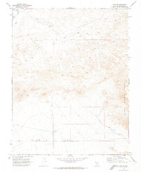
1970 · Hiko NE
USGS Topo · 1:24,000
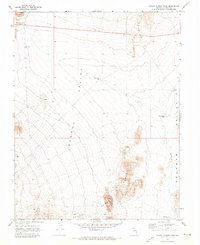
1970 · Pahroc Summit Pass
USGS Topo · 1:24,000
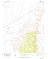
1970 · Hiko SE
USGS Topo · 1:24,000
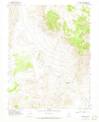
1970 · Seaman Wash
USGS Topo · 1:24,000
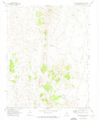
1970 · Wheatgrass Spring
USGS Topo · 1:24,000
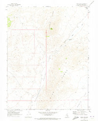
1970 · Fossil Peak
USGS Topo · 1:24,000