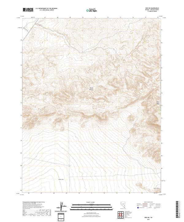
2021 Map of Hiko NE
USGS Topo · Published 2021About this map
North Pahrock Range dominates the eastern boundary of this Lincoln County landscape, where the high desert terrain transitions into the broad expanse of Sixmile Flat to the south. The mapping reflects a rugged interior defined by the Spur of Pahrock Mountains, a complex series of ridges and drainages that underscore the region's geological isolation. Human presence is sparse, marked primarily by the peripheral Seaman Wash Rd and the Access Route Trl in the northwest corner near the White River. This 2021 survey by the U.S. Geological Survey provides an intricate view of the Public Land Survey System grid across townships such as t3s r62e, illustrating how modern digital cartography preserves the cadastral framework first laid out by the General Land Office in this arid Nevada basin.
Find a feature on this map
13 named features on this map. Tap any name to fly to it.
Don’t see what you’re looking for? This feature index may not catch every label — zoom into the map to look around manually.
Map Details
Editions of this 2021 Hiko NE Map
This is the sole edition of this map. No revisions or reprints were ever made.
Other maps of this area

1885 · Pioche
USGS Topo · 1:250,000

1886 · Pioche
USGS Topo · 1:250,000

1954 · Caliente
USGS Topo · 1:250,000

1959 · Caliente
USGS Topo · 1:250,000

1970 · Hiko NE
USGS Topo · 1:24,000
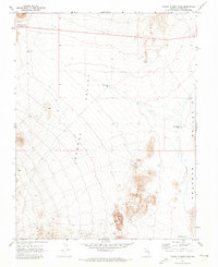
1970 · Pahroc Summit Pass
USGS Topo · 1:24,000

1970 · Hiko SE
USGS Topo · 1:24,000

1970 · Seaman Wash
USGS Topo · 1:24,000

1970 · Wheatgrass Spring
USGS Topo · 1:24,000

1970 · Fossil Peak
USGS Topo · 1:24,000