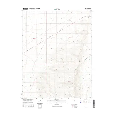
2014 Map of Hiko SE
USGS Topo · Published 2014About this map
Pahroc Summit Pass serves as a critical geographic gateway in this high-desert region of Lincoln County. The landscape is defined by the significant elevation changes between the Pahroc Valley and the South Pahroc Range, where the terrain rises sharply from the basin floor. This 2014 survey documents the industrial footprint of the area, specifically through the Pahroc Perlite Mine Rd, which indicates active or historical mineral extraction operations in the eastern mountains. In the west, the broad expanse of Sixmile Flat is traversed by the Six Mile Connect Rd, illustrating the sparse but functional network of routes connecting the arid basins. The map provides a precise view of the Pahroc Range before modern developments, preserving the nomenclature of these specific landforms and access roads used by miners and ranchers.
Find a feature on this map
11 named features on this map. Tap any name to fly to it.
Don’t see what you’re looking for? This feature index may not catch every label — zoom into the map to look around manually.
Map Details
Editions of this 2014 Hiko SE Map
This is the sole edition of this map. No revisions or reprints were ever made.
Other maps of this area
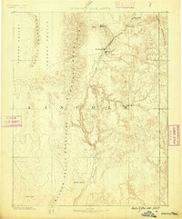
1885 · Pioche
USGS Topo · 1:250,000
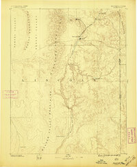
1886 · Pioche
USGS Topo · 1:250,000
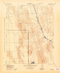
1945 · Alamo
USGS Topo · 1:125,000

1954 · Caliente
USGS Topo · 1:250,000
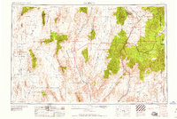
1959 · Caliente
USGS Topo · 1:250,000
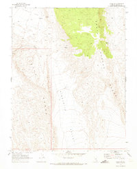
1969 · Alamo NE
USGS Topo · 1:24,000
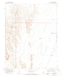
1969 · Delamar NW
USGS Topo · 1:24,000
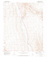
1969 · Ash Springs
USGS Topo · 1:24,000
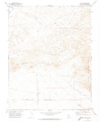
1970 · Hiko NE
USGS Topo · 1:24,000
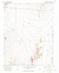
1970 · Pahroc Summit Pass
USGS Topo · 1:24,000