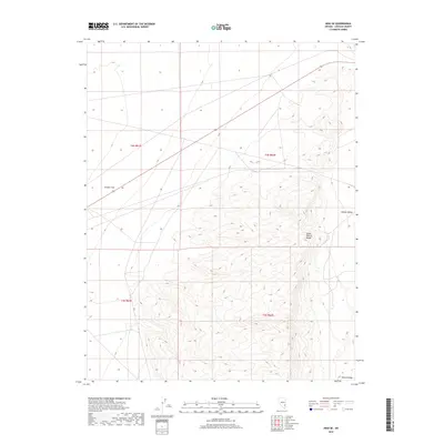
2018 Map of Hiko SE
USGS Topo · Published 2018About this map
South Pahroc Range and the Pahroc Range dominate the eastern half of this Lincoln County landscape, defining the transition between the high ground and the broad basins of the Basin and Range province. This 2018 survey documents the topographical character of the high desert, where the mountains rise sharply above the Pahroc Valley to the east and the expansive Sixmile Flat to the west. The map provides a precise look at the township and range divisions, including t4s r61e, t4s r62e, t5s r61e, and t5s r62e, which structure this sparsely populated region. While largely devoid of named settlements, the intricate contour lines reveal the complex canyons and ridges of the South Pahroc interior, offering a clear picture of the land as it remained in the early 21st century.
Find a feature on this map
8 named features on this map. Tap any name to fly to it.
Don’t see what you’re looking for? This feature index may not catch every label — zoom into the map to look around manually.
Map Details
Editions of this 2018 Hiko SE Map
This is the sole edition of this map. No revisions or reprints were ever made.
Other maps of this area
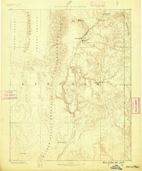
1885 · Pioche
USGS Topo · 1:250,000
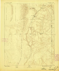
1886 · Pioche
USGS Topo · 1:250,000
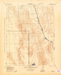
1945 · Alamo
USGS Topo · 1:125,000

1954 · Caliente
USGS Topo · 1:250,000
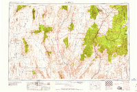
1959 · Caliente
USGS Topo · 1:250,000
1969 · Alamo NE
USGS Topo · 1:24,000
1969 · Delamar NW
USGS Topo · 1:24,000
1969 · Ash Springs
USGS Topo · 1:24,000
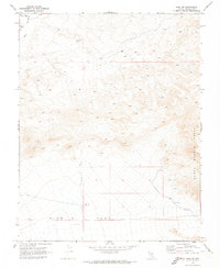
1970 · Hiko NE
USGS Topo · 1:24,000
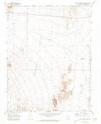
1970 · Pahroc Summit Pass
USGS Topo · 1:24,000