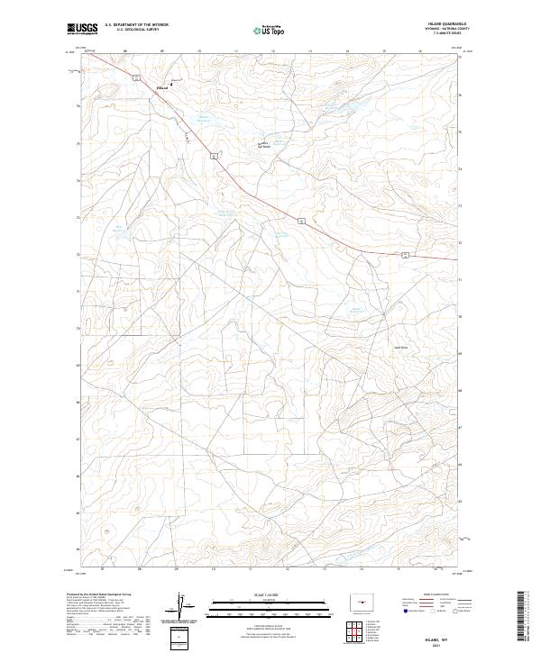
2021 Map of Hiland
USGS Topo · Published 2021About this map
Hiland serves as the focal point of this high-plains landscape, situated along the northern reaches of the quadrangle near the Hiland Cem. The terrain is defined by a series of drainages and seasonal water catchments, including the S Fork Powder River in the south and Poison Cr in the north. This network of small reservoirs, such as Dead Horse Reservoir, Pine Tree Reservoir, and Adobe Reservoir, underscores the critical importance of water management in this arid ranching country. Distinctive geological markers like Needles Eye Butte and the broad Sand Draw provide essential landmarks for navigation across the open sagebrush and grasslands of Natrona County.
Find a feature on this map
19 named features on this map. Tap any name to fly to it.
Don’t see what you’re looking for? This feature index may not catch every label — zoom into the map to look around manually.
Map Details
Editions of this 2021 Hiland Map
This is the sole edition of this map. No revisions or reprints were ever made.
Other maps of this area

1952 · Arminto
USGS Topo · 1:24,000

1952 · Arminto SW
USGS Topo · 1:24,000

1952 · Arminto NW
USGS Topo · 1:24,000

1952 · Waltman NW
USGS Topo · 1:24,000

1952 · Waltman
USGS Topo · 1:24,000

1952 · Hiland
USGS Topo · 1:24,000

1952 · Ervay Basin
USGS Topo · 1:24,000

1955 · Arminto
USGS Topo · 1:250,000

1955 · Casper
USGS Topo · 1:250,000

1958 · Casper
USGS Topo · 1:250,000