
1952 Map of Hiland
USGS Topo · Published 1954About this map
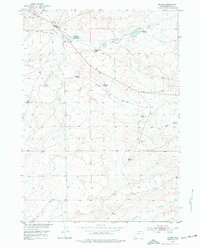
Hiland serves as the focal point of this 1952 study, situated in a high-desert landscape defined by complex water management and transportation history. The area is marked by a network of drainage and containment, including Poison Creek and a system of man-made structures like the Hiland Reservoir, Burke Reservoir, and Wolton Reservoir. These features, along with the Levee Ditch, reflect the critical importance of water infrastructure in the development of the Missouri River Basin.
Find a feature on this map
19 named features on this map. Tap any name to fly to it.
Don’t see what you’re looking for? This feature index may not catch every label — zoom into the map to look around manually.
Map Details
Editions of this 1952 Hiland Map
2 editions found
Other maps of this area

1952 · Arminto
USGS Topo · 1:24,000

1952 · Arminto SW
USGS Topo · 1:24,000

1952 · Arminto NW
USGS Topo · 1:24,000

1952 · Waltman NW
USGS Topo · 1:24,000

1952 · Waltman
USGS Topo · 1:24,000

1952 · Ervay Basin
USGS Topo · 1:24,000

1955 · Arminto
USGS Topo · 1:250,000

1955 · Casper
USGS Topo · 1:250,000

1958 · Casper
USGS Topo · 1:250,000

1958 · Arminto
USGS Topo · 1:250,000