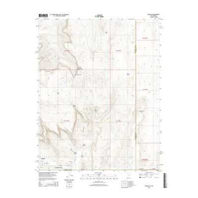
2014 Map of Hildale
USGS Topo · Published 2014About this map
Hildale and Colorado City sit at the foot of the dramatic Vermilion Cliffs on this 2014 topographic study of the Utah-Arizona border. The settlement pattern is defined by a rigid grid of residential streets like Maple St, Juniper St, and Field Ave that end abruptly where the vertical rise of the Canaan Mtn plateau begins. The landscape is a complex network of high-elevation features and drainage systems, including the steep walls of Water Canyon and the prominent formation known as The Beehive. This map documents a unique border-straddling community isolated by geography, where water sources like Goat Springs and Short Cr are essential to life in the shadow of South Mtn. The transition from the flat agricultural and residential lands of the valley to the protected areas of the Canaan Mountain RV Closure Area highlights the rugged natural boundaries that define this region.
Find a feature on this map
43 named features on this map. Tap any name to fly to it.
Don’t see what you’re looking for? This feature index may not catch every label — zoom into the map to look around manually.
Map Details
Editions of this 2014 Hildale Map
This is the sole edition of this map. No revisions or reprints were ever made.
Other maps of this area

1885 · St. George
USGS Topo · 1:250,000

1886 · Kanab
USGS Topo · 1:250,000

1886 · Mt. Trumbull
USGS Topo · 1:250,000

1886 · Kaibab
USGS Topo · 1:250,000

1891 · St. George
USGS Topo · 1:250,000

1892 · Mt. Trumbull
USGS Topo · 1:250,000

1953 · Cedar City
USGS Topo · 1:250,000

1953 · Grand Canyon
USGS Topo · 1:250,000

1954 · La Verkin 4 SE
USGS Topo · 1:24,000
1954 · Short Creek NW
USGS Topo · 1:24,000