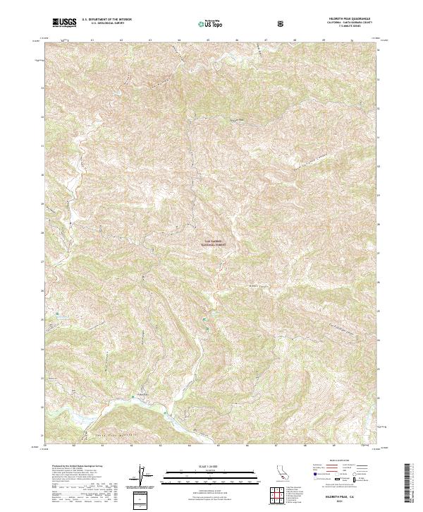
2021 Map of Hildreth Peak
USGS Topo · Published 2021About this map
Hildreth Peak rises as the central landmark of this backcountry landscape within the Los Padres National Forest, where the terrain is defined by the steep canyons of the Santa Ynez Mountains. The southern portion of the map is shaped by the Santa Ynez River and the small clearing at P-Bar Flats, a rare level area in an otherwise dramatic vertical environment. This modern survey illustrates a network of essential trails and service roads, including the Mono-Alamar Trl and Camuesa Rd, which provide access to interior springs like Little Caliente Spring and Agua Caliente Spring. These natural water sources, along with drainage systems such as Agua Caliente Canyon and Mono Cr, have historically dictated human movement through this protected wilderness, creating a map that documents the enduring geography of the California coast range.
Find a feature on this map
28 named features on this map. Tap any name to fly to it.
Don’t see what you’re looking for? This feature index may not catch every label — zoom into the map to look around manually.
Map Details
Editions of this 2021 Hildreth Peak Map
This is the sole edition of this map. No revisions or reprints were ever made.
Other maps of this area

1902 · Santa Ynez
USGS Topo · 1:125,000

1903 · Mt. Pinos
USGS Topo · 1:125,000

1904 · Ventura
USGS Topo · 1:62,500

1905 · Santa Ynez
USGS Topo · 1:125,000

1941 · Ventura
USGS Topo · 1:62,500

1942 · Little Pine Mountain
USGS Topo · 1:24,000

1943 · Big Pine Mountain
USGS Topo · 1:31,680

1943 · Rancho Nuevo Creek
USGS Topo · 1:24,000

1943 · Old Man Mountain
USGS Topo · 1:24,000

1943 · Hildreth Peak
USGS Topo · 1:24,000