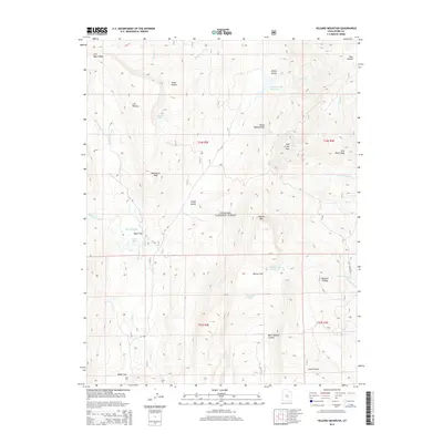
2014 Map of Hilgard Mountain
USGS Topo · Published 2014About this map
Fishlake National Forest defines the high-elevation landscape of this Sevier County survey, centered on the prominent peak of Hilgard Mtn. The terrain is characterized by a series of high plateaus and distinct depressions, such as Red Creek Hole and The Potholes, which drop away from the broader Wasatch Plateau and U M Plateau. Water management in this arid environment is evident through several upland catchments, including Sheep Valley Reservoir and Willies Flat Reservoir, which capture runoff from the surrounding ridges. To the north, Emerald Lakes sit below the U M Plateau, while the southern reaches are marked by the steep descent of the Tidwell Slopes into West Tidwell Canyon. This map provides a detailed look at the complex hydrography of the region, where headwaters like N Last Chance Cr and Right Fork U M Cr begin their descent through the canyon systems.
Find a feature on this map
41 named features on this map. Tap any name to fly to it.
Don’t see what you’re looking for? This feature index may not catch every label — zoom into the map to look around manually.
Map Details
Editions of this 2014 Hilgard Mountain Map
This is the sole edition of this map. No revisions or reprints were ever made.
Other maps of this area
1885 · Fish Lake
USGS Topo · 1:250,000
1896 · Fish Lake
USGS Topo · 1:250,000
1922 · Emery No.3
USGS Topo · 1:31,680
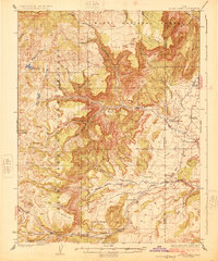
1925 · Acord Lakes
USGS Topo · 1:62,500
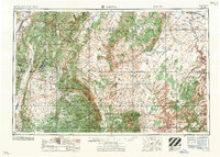
1956 · Salina
USGS Topo · 1:250,000
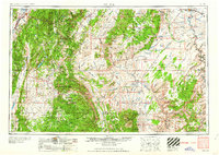
1960 · Salina
USGS Topo · 1:250,000
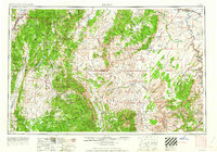
1962 · Salina
USGS Topo · 1:250,000
1966 · Yogo Creek
USGS Topo · 1:24,000
1966 · Gooseberry Creek
USGS Topo · 1:24,000
1968 · Johns Peak
USGS Topo · 1:24,000