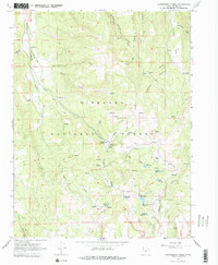
1966 Map of Gooseberry Creek
USGS Topo · Published 1979About this map
Fishlake National Forest encompasses this high-elevation landscape, where the headwaters of Gooseberry Creek and Niotche Creek drain a series of high ridges and deep canyons. The 1966 field check records a remote interior of Sevier County, characterized by a complex network of pack trails and jeep roads serving the Gooseberry Ranger Station and nearby Gooseberry Campground. Water management is a primary feature of the terrain, with several man-made impoundments including Salina Reservoir, Harves River Reservoir, and Farnsworth Reservoir situated in the southern reach of the quadrangle.
Find a feature on this map
43 named features on this map. Tap any name to fly to it.
Don’t see what you’re looking for? This feature index may not catch every label — zoom into the map to look around manually.
Map Details
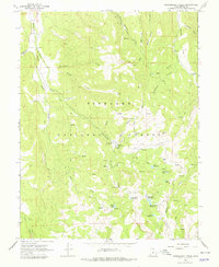
Editions of this 1966 Gooseberry Creek Map
2 editions found
Other maps of this area

1885 · Fish Lake
USGS Topo · 1:250,000

1896 · Fish Lake
USGS Topo · 1:250,000

1956 · Salina
USGS Topo · 1:250,000

1960 · Salina
USGS Topo · 1:250,000

1962 · Salina
USGS Topo · 1:250,000
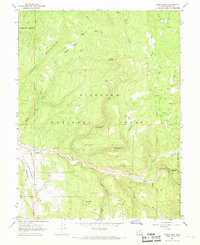
1966 · Steves Mtn
USGS Topo · 1:24,000
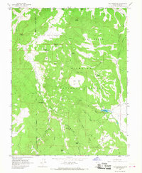
1966 · Rex Reservoir
USGS Topo · 1:24,000
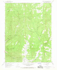
1966 · Water Hollow Ridge
USGS Topo · 1:24,000

1966 · Yogo Creek
USGS Topo · 1:24,000
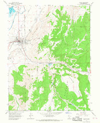
1966 · Salina
USGS Topo · 1:24,000