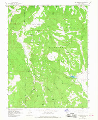
1966 Map of Rex Reservoir
USGS Topo · Published 1968About this map
Fishlake National Forest and Salt Lake National Forest converge in this high-elevation landscape of Sevier County, where a complex network of springs and flats defines the local geography. The central Rex Reservoir is surrounded by a rugged drainage system that includes Lost Creek and Sweet Water Creek, highlighting the importance of water management in this arid mountain terrain during the mid-1960s. Family-named landmarks such as Josiah Springs, Shoop Spring, and Scorups Meadows point to the area's history of ranching and early land use.
Find a feature on this map
39 named features on this map. Tap any name to fly to it.
Don’t see what you’re looking for? This feature index may not catch every label — zoom into the map to look around manually.
Map Details
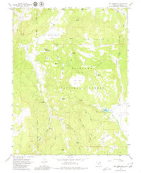
Editions of this 1966 Rex Reservoir Map
2 editions found
Other maps of this area

1885 · Fish Lake
USGS Topo · 1:250,000

1896 · Fish Lake
USGS Topo · 1:250,000

1956 · Salina
USGS Topo · 1:250,000

1960 · Salina
USGS Topo · 1:250,000

1962 · Salina
USGS Topo · 1:250,000
1966 · Steves Mtn
USGS Topo · 1:24,000
1966 · Salina
USGS Topo · 1:24,000
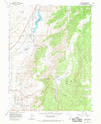
1966 · Sigurd
USGS Topo · 1:24,000
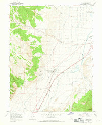
1966 · Aurora
USGS Topo · 1:24,000
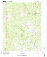
1966 · Gooseberry Creek
USGS Topo · 1:24,000