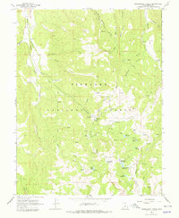
1966 Map of Gooseberry Creek
USGS Topo · Published 1979About this map
Fishlake National Forest dominates this mid-1960s survey of the High Plateaus region, where water management and wilderness access are the primary human imprints. The Gooseberry Ranger Station and nearby Gooseberry Campground serve as central points for forest administration and recreation within the expansive Gooseberry Valley. The landscape is a network of drainage systems and artificial impoundments, including the Salina Reservoir, Hamilton Reservoir, and Farnsworth Reservoir, highlighting the area's critical role in regional water storage. Evidence of utility and communication infrastructure is visible in the named Telephone Trail, while numerous pack trails and gaging stations reflect the ongoing monitoring of this remote watershed. From the high elevations of Oak Ridge to the secluded Browns Hole, the map preserves the mid-century character of Utah's managed mountain terrain before modern development or road expansions altered these primitive routes.
Find a feature on this map
38 named features on this map. Tap any name to fly to it.
Don’t see what you’re looking for? This feature index may not catch every label — zoom into the map to look around manually.
Map Details
Editions of this 1966 Gooseberry Creek Map
2 editions found
Other maps of this area

1885 · Fish Lake
USGS Topo · 1:250,000

1896 · Fish Lake
USGS Topo · 1:250,000

1956 · Salina
USGS Topo · 1:250,000

1960 · Salina
USGS Topo · 1:250,000

1962 · Salina
USGS Topo · 1:250,000
1966 · Steves Mtn
USGS Topo · 1:24,000
1966 · Rex Reservoir
USGS Topo · 1:24,000
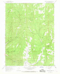
1966 · Water Hollow Ridge
USGS Topo · 1:24,000

1966 · Yogo Creek
USGS Topo · 1:24,000
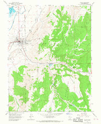
1966 · Salina
USGS Topo · 1:24,000