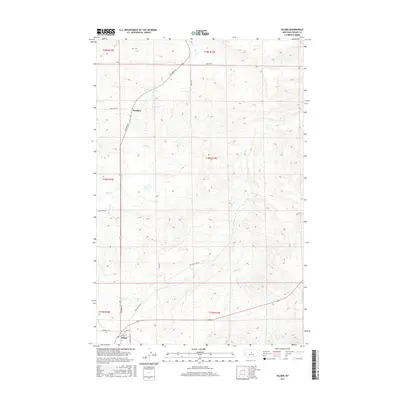
2017 Map of Hilger
USGS Topo · Published 2017About this map
Hilger sits at the southern edge of this Central Montana landscape, serving as a focal point for the surrounding ranching and agricultural region. The settlement is linked to the wider territory by several established routes, including Main St and the Maiden Cutoff, which indicates the historical connectivity to nearby mining districts. To the north, the small community of Moulton is positioned along the Winifred Rd, illustrating the dispersed settlement pattern characteristic of Fergus County’s high plains. The terrain is defined by an intricate drainage system where Dog Cr and Little Dog Cr carve through the north, while Deer Cr and Little Deer Cr flow through the southeastern reaches. These watercourses and local landmarks like Roy Junction Rd trace the path of local commerce and movement in a landscape shaped by both hydrology and early roadway development.
Find a feature on this map
24 named features on this map. Tap any name to fly to it.
Don’t see what you’re looking for? This feature index may not catch every label — zoom into the map to look around manually.
Map Details
Editions of this 2017 Hilger Map
This is the sole edition of this map. No revisions or reprints were ever made.
Other maps of this area
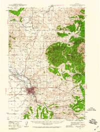
1941 · Lewistown
USGS Topo · 1:62,500
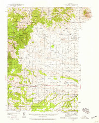
1941 · Judith Peak
USGS Topo · 1:62,500
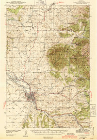
1944 · Lewistown
USGS Topo · 1:62,500
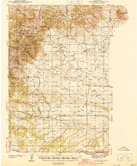
1944 · Judith Peak
USGS Topo · 1:62,500
1954 · Lewistown
USGS Topo · 1:250,000
1959 · Lewistown
USGS Topo · 1:250,000
1978 · Lewistown
USGS Topo · 1:100,000
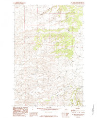
1985 · The Horse Ranch
USGS Topo · 1:24,000
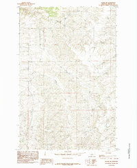
1985 · Hilger NW
USGS Topo · 1:24,000
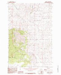
1985 · Kendall
USGS Topo · 1:24,000