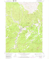
1954 Map of Hill City
USGS Topo · Published 1979About this map
Hill City sits at the heart of this Pennington County landscape, surrounded by the high peaks of the Black Hills National Forest. The map documents a classic mining economy, with specialized features like tailings ponds and the Chicago Burlington and Quincy railroad lines serving the local industry. High-elevation terrain such as Lowden Mountain, Summit Peak, and Flag Mountain creates a complex network of gulches and draws. This 1954 survey, with revisions into the late 1970s, captures the proximity of small settlements like Canadaville to numerous named mining operations including the Eldorado Mine and Sunnyside Mine. The intricate drainage patterns of Spring Creek and Palmer Creek underscore the geological complexity that once drew prospectors to the Grizzly Bear Mine and Empire Mine.
Find a feature on this map
72 named features on this map. Tap any name to fly to it.
Don’t see what you’re looking for? This feature index may not catch every label — zoom into the map to look around manually.
Map Details
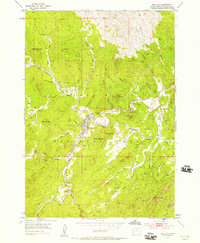
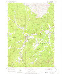
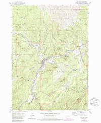
Editions of this 1954 Hill City Map
5 editions found

Other maps of this area

1893 · Rapid
USGS Topo · 1:125,000

1894 · Deadwood
USGS Topo · 1:125,000

1894 · Hermosa
USGS Topo · 1:125,000

1896 · Harney Peak
USGS Topo · 1:125,000

1898 · Rapid
USGS Topo · 1:125,000

1901 · Hermosa
USGS Topo · 1:125,000

1901 · Harney Peak
USGS Topo · 1:125,000

1901 · Deadwood
USGS Topo · 1:125,000

1903 · Rapid
USGS Topo · 1:125,000

1916 · Deadwood
USGS Topo · 1:125,000