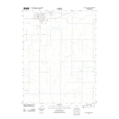
2012 Map of Hill City South
USGS Topo · Published 2012About this map
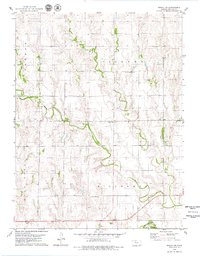
Hill City sits at the northern edge of this Kansas landscape, serving as a primary hub for Graham County. The street grid of the town is clearly defined, featuring landmarks such as the local Post Office and the Hill City Municipal Airport to the east. Directly adjacent to the airport, the Prairie Trails Golf Course provides a distinct transition between the town's developed areas and the surrounding agricultural environment. South of the settlement, the South Fork Solomon River meanders across the territory, joined by several drainage systems including Coon Creek and Skunk Creek. These watercourses define the local topography, carving paths through the plains toward the southeastern reaches of the map where Wild Horse Creek and its western branch, West Branch Wild Horse Creek, drain the southern prairie lands.
Find a feature on this map
25 named features on this map. Tap any name to fly to it.
Don’t see what you’re looking for? This feature index may not catch every label — zoom into the map to look around manually.
Map Details
Editions of this 2012 Hill City South Map
This is the sole edition of this map. No revisions or reprints were ever made.
Other maps of this area

1893 · Hill
USGS Topo · 1:125,000

1955 · Beloit
USGS Topo · 1:250,000

1959 · Beloit
USGS Topo · 1:250,000

1979 · Bogue
USGS Topo · 1:24,000

1979 · Hill City South
USGS Topo · 1:24,000

1979 · Penokee
USGS Topo · 1:24,000
1979 · Hay Hollow
USGS Topo · 1:24,000
1979 · Hill City NW
USGS Topo · 1:24,000
1979 · Hill City 4 NW
USGS Topo · 1:24,000
1979 · Bogue NW
USGS Topo · 1:24,000