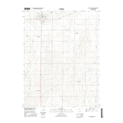
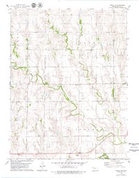
2015 Map of Hill City South
USGS Topo · Published 2015About this map
Hill City serves as the focal point for this section of Graham County, with its grid of streets such as W Main St, S Pomeroy Ave, and W Cedar St concentrated in the northern portion of the survey. The landscape is defined by the winding course of the S Fork Solomon River, which cuts across the territory alongside major drainage systems like Skunk Cr and W Br Wild Horse Cr. To the northeast of the town center, the Hill City Municipal Airport stands as a significant regional landmark.
Find a feature on this map
45 named features on this map. Tap any name to fly to it.
Don’t see what you’re looking for? This feature index may not catch every label — zoom into the map to look around manually.
Map Details
Editions of this 2015 Hill City South Map
This is the sole edition of this map. No revisions or reprints were ever made.
Other maps of this area

1893 · Hill
USGS Topo · 1:125,000

1955 · Beloit
USGS Topo · 1:250,000

1959 · Beloit
USGS Topo · 1:250,000

1979 · Bogue
USGS Topo · 1:24,000

1979 · Hill City South
USGS Topo · 1:24,000

1979 · Penokee
USGS Topo · 1:24,000
1979 · Hay Hollow
USGS Topo · 1:24,000
1979 · Hill City NW
USGS Topo · 1:24,000
1979 · Hill City 4 NW
USGS Topo · 1:24,000
1979 · Bogue NW
USGS Topo · 1:24,000