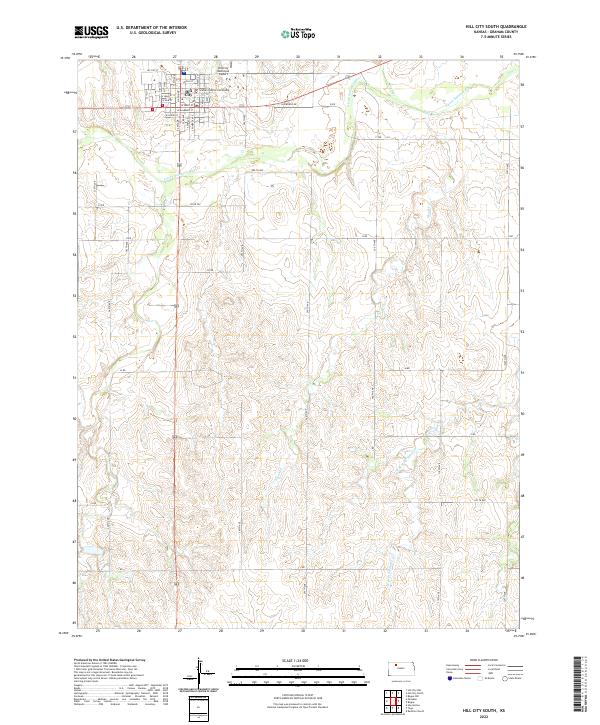
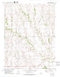
2022 Map of Hill City South
USGS Topo · Published 2022About this map
Hill City serves as the focal point of this Graham County landscape, where the local street grid meets the winding course of the S Fork Solomon River. The town's administrative and logistical importance is grounded by the Graham County Courthouse and the Hill City Municipal Airport, while the surrounding geography is defined by a network of drainage systems including Coon Cr, Skunk Cr, and W Br Wild Horse Cr. The township boundaries of t8s r23w and t8s r22w organize a rural terrain marked by a rhythmic grid of county roads such as Old Bogue Rd and Co Rd 392. This modern survey illustrates the persistent importance of watercourses and section lines in shaping the settlement patterns and agricultural infrastructure of the High Plains.
Find a feature on this map
53 named features on this map. Tap any name to fly to it.
Don’t see what you’re looking for? This feature index may not catch every label — zoom into the map to look around manually.
Map Details
Editions of this 2022 Hill City South Map
This is the sole edition of this map. No revisions or reprints were ever made.
Other maps of this area

1893 · Hill
USGS Topo · 1:125,000

1955 · Beloit
USGS Topo · 1:250,000

1959 · Beloit
USGS Topo · 1:250,000

1979 · Bogue
USGS Topo · 1:24,000

1979 · Hill City South
USGS Topo · 1:24,000

1979 · Penokee
USGS Topo · 1:24,000
1979 · Hay Hollow
USGS Topo · 1:24,000
1979 · Hill City NW
USGS Topo · 1:24,000
1979 · Hill City 4 NW
USGS Topo · 1:24,000
1979 · Bogue NW
USGS Topo · 1:24,000