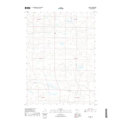
2017 Map of Hill Lake
USGS Topo · Published 2017About this map
Hill Lake and Cotton Lake anchor this 2017 study of the Nebraska Sandhills in Cherry County. The area is defined by its complex hydrology and the meandering course of the N Loup River, which cuts through the northern portion of the quadrangle. Significant topographical depressions like Survey Valley highlight the unique geomorphology of the region, where the high water table creates a series of isolated basins and wetlands across the landscape.
Find a feature on this map
14 named features on this map. Tap any name to fly to it.
Don’t see what you’re looking for? This feature index may not catch every label — zoom into the map to look around manually.
Map Details
Editions of this 2017 Hill Lake Map
This is the sole edition of this map. No revisions or reprints were ever made.
Other maps of this area

1948 · Whitman
USGS Topo · 1:62,500

1949 · Steverson Lake
USGS Topo · 1:62,500

1950 · Whitman
USGS Topo · 1:62,500

1950 · Hire
USGS Topo · 1:62,500

1950 · Wolf Lake
USGS Topo · 1:62,500

1951 · Steverson Lake
USGS Topo · 1:62,500

1951 · Wolf Lake
USGS Topo · 1:62,500

1957 · Valentine
USGS Topo · 1:250,000

1959 · Valentine
USGS Topo · 1:250,000

1985 · Mullen
USGS Topo · 1:100,000