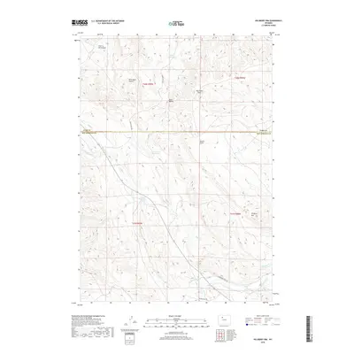
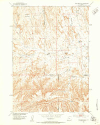
2018 Map of Hillberry Rim
USGS Topo · Published 2018About this map
Hillberry Rim and the Buck Buttes define the high ground of this high-plains landscape where Park and Hot Springs counties meet. The drainage network of Buffalo Cr and Gooseberry Cr carves through the terrain, supported by early 21st-century water management features like the Star Ditch and Sun Ditch. Evocative local names such as Wild Horse Heaven and Hole in the Ground suggest a land shaped by ranching and traditional geographic lore.
Find a feature on this map
23 named features on this map. Tap any name to fly to it.
Don’t see what you’re looking for? This feature index may not catch every label — zoom into the map to look around manually.
Map Details
Editions of this 2018 Hillberry Rim Map
This is the sole edition of this map. No revisions or reprints were ever made.
Other maps of this area
1911 · Meeteetse
USGS Topo · 1:62,500
1913 · Meeteetse
USGS Topo · 1:62,500
1913 · Grass Creek Basin
USGS Topo · 1:62,500
1915 · Grass Creek Basin
USGS Topo · 1:62,500
1951 · Hillberry Rim
USGS Topo · 1:24,000
1951 · Gillies Draw
USGS Topo · 1:24,000
1951 · Wilson Spring
USGS Topo · 1:24,000
1951 · Dead Indian Hill
USGS Topo · 1:24,000

1955 · Cody
USGS Topo · 1:250,000

1955 · Thermopolis
USGS Topo · 1:250,000