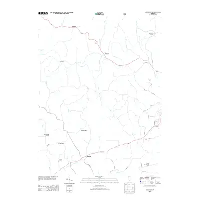
2013 Map of Hillham
USGS Topo · Published 2013About this map
Hillham and Natchez anchor this topographic study of a landscape defined by the meandering course of the Lost River and its numerous tributaries. The terrain is marked by prominent natural features such as Emmons Ridge and Coal Mine Ridge, which divide the various creek basins including Cane Cr and Davis Cr. In the northern section, the settlement of Roland sits near a crossing of the river, while the southern reaches show the modern footprint of the French Lick Municipal Airport. Local history is embedded in the nomenclature of the land, from the descriptive Stillhouse Hollow and Rattlesnake Hollow to the small community at Mount Airie. The road network connects these points through a system of county roads and state highways that navigate the narrow gaps and ridges typical of this part of southern Indiana.
Find a feature on this map
52 named features on this map. Tap any name to fly to it.
Don’t see what you’re looking for? This feature index may not catch every label — zoom into the map to look around manually.
Map Details
Editions of this 2013 Hillham Map
This is the sole edition of this map. No revisions or reprints were ever made.
Other maps of this area

1948 · Huron
USGS Topo · 1:24,000

1949 · Georgia
USGS Topo · 1:24,000

1950 · Huron
USGS Topo · 1:24,000

1950 · Shoals
USGS Topo · 1:24,000

1951 · Hillham
USGS Topo · 1:24,000

1951 · French Lick
USGS Topo · 1:24,000

1951 · Georgia
USGS Topo · 1:24,000

1954 · Dubois
USGS Topo · 1:24,000

1956 · Greenbrier
USGS Topo · 1:24,000

1956 · Rusk
USGS Topo · 1:24,000