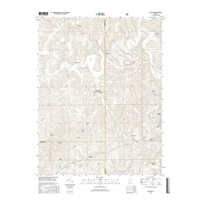
2016 Map of Hillham
USGS Topo · Published 2016About this map
The Lost River snakes through a landscape defined by sharp ridges and deep hollows in this corner of southern Indiana. This 2016 survey documents the rural character of the area where Hillham sits at the junction of E State Rd 56 and N Hillham Rd S. Much of the central terrain is managed within the Hoosier National Forest, showing a preserved wilderness adjacent to family landmarks and small settlements like Natchez and Roland.
Find a feature on this map
64 named features on this map. Tap any name to fly to it.
Don’t see what you’re looking for? This feature index may not catch every label — zoom into the map to look around manually.
Map Details
Editions of this 2016 Hillham Map
This is the sole edition of this map. No revisions or reprints were ever made.
Other maps of this area

1948 · Huron
USGS Topo · 1:24,000

1949 · Georgia
USGS Topo · 1:24,000

1950 · Huron
USGS Topo · 1:24,000

1950 · Shoals
USGS Topo · 1:24,000

1951 · Hillham
USGS Topo · 1:24,000

1951 · French Lick
USGS Topo · 1:24,000

1951 · Georgia
USGS Topo · 1:24,000

1954 · Dubois
USGS Topo · 1:24,000

1956 · Greenbrier
USGS Topo · 1:24,000

1956 · Rusk
USGS Topo · 1:24,000