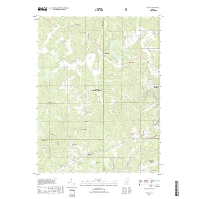
2019 Map of Hillham
USGS Topo · Published 2019About this map
Hoosier National Forest land dominates this section of southern Indiana, where the borders of Orange, Martin, and Dubois counties meet among complex ridges and hollows. The Lost River snakes across the northern half of the landscape, passing through Roland and the sharp bend known as the Narrows. Significant family history is preserved through numerous small burial grounds scattered across the terrain, including the Hawkins Cem, Anderson Cem, and Wininger Cem. To the southeast, the terrain softens near French Lick and the French Lick Municipal Airport. A network of historical paths such as the Buffalo Trace Trail and Water Fall Loop underscores the area's long-standing connection to both early migration routes and modern forest recreation. The proximity of Coal Mine Ridge and Emmons Ridge suggests a landscape defined by its elevation and resources.
Find a feature on this map
49 named features on this map. Tap any name to fly to it.
Don’t see what you’re looking for? This feature index may not catch every label — zoom into the map to look around manually.
Map Details
Editions of this 2019 Hillham Map
This is the sole edition of this map. No revisions or reprints were ever made.
Other maps of this area

1948 · Huron
USGS Topo · 1:24,000

1949 · Georgia
USGS Topo · 1:24,000

1950 · Huron
USGS Topo · 1:24,000

1950 · Shoals
USGS Topo · 1:24,000

1951 · Hillham
USGS Topo · 1:24,000

1951 · French Lick
USGS Topo · 1:24,000

1951 · Georgia
USGS Topo · 1:24,000

1954 · Dubois
USGS Topo · 1:24,000

1956 · Greenbrier
USGS Topo · 1:24,000

1956 · Rusk
USGS Topo · 1:24,000