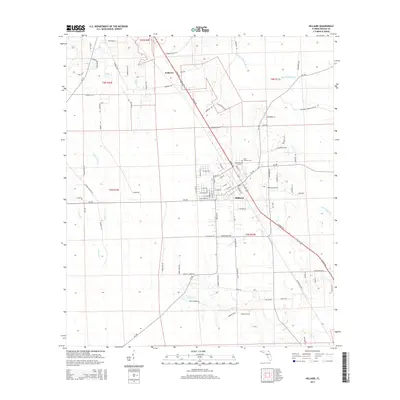
2015 Map of Hilliard
USGS Topo · Published 2015About this map
Hilliard serves as the central hub for this corner of Nassau County, defined by a distinct grid of streets intersected by the diagonal path of N Kings Rd. The landscape transition from the town center to the surrounding countryside is marked by the Hilliard Airpark and the Saint Theresa Cem to the north. Smaller settlements like Andrews sit at key road junctions, illustrating the rural development patterns of the early 21st century.
Find a feature on this map
101 named features on this map. Tap any name to fly to it.
Don’t see what you’re looking for? This feature index may not catch every label — zoom into the map to look around manually.
Map Details
Editions of this 2015 Hilliard Map
This is the sole edition of this map. No revisions or reprints were ever made.
Other maps of this area

1917 · Boulogne
USGS Topo · 1:62,500

1917 · Hilliard
USGS Topo · 1:62,500

1918 · Folkston
USGS Topo · 1:62,500

1918 · Moniac
USGS Topo · 1:62,500

1919 · Hilliard
USGS Topo · 1:62,500

1919 · Boulogne
USGS Topo · 1:62,500

1942 · Moniac
USGS Topo · 1:62,500

1948 · Jacksonville
USGS Topo · 1:250,000

1954 · Valdosta
USGS Topo · 1:250,000

1957 · Jacksonville
USGS Topo · 1:250,000