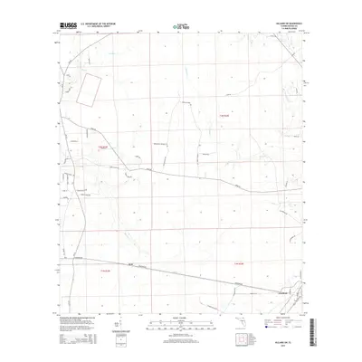
2015 Map of Hilliard SW
USGS Topo · Published 2015About this map
Crawford and Kent anchor the southern reach of this Northeast Florida landscape, situated along the corridor formed by Crawford Rd. The terrain is defined by a dense network of blackwater drainages including Deep Cr, Alligator Cr, and Mill Cr, which carve through the flatwood sections of Nassau County. A mix of rural agriculture and conservation is evident, particularly with the presence of the Broomsage Preserve in the center of the quadrangle. Many roads reflect long-standing local families and property lines, such as Conner Collins Rd, Charles Green Rd, and Nolan Jones Rd. The map illustrates a contemporary pattern of large-lot rural development and timber tracts, connected by historical thoroughfares like River Rd and the straight-line boundary of Old Baldwin Rd.
Find a feature on this map
51 named features on this map. Tap any name to fly to it.
Don’t see what you’re looking for? This feature index may not catch every label — zoom into the map to look around manually.
Map Details
Editions of this 2015 Hilliard SW Map
This is the sole edition of this map. No revisions or reprints were ever made.
Other maps of this area

1917 · Cambon
USGS Topo · 1:62,500

1917 · Macclenny
USGS Topo · 1:62,500

1917 · Hilliard
USGS Topo · 1:62,500

1918 · Moniac
USGS Topo · 1:62,500

1918 · Cambon
USGS Topo · 1:62,500

1918 · Macclenny
USGS Topo · 1:62,500

1919 · Hilliard
USGS Topo · 1:62,500

1942 · Moniac
USGS Topo · 1:62,500

1948 · Jacksonville
USGS Topo · 1:250,000

1954 · Valdosta
USGS Topo · 1:250,000