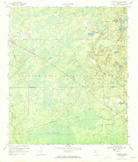
1969 Map of Hilliardville
USGS Topo · Published 1972About this map
Cow Swamp and the dense wetlands of the Apalachicola National Forest dominate this late 1960s survey of the Leon and Wakulla county border. The small settlements of Hilliardville and Helen serve as the primary hubs of human activity, connected by roads that navigate around numerous water bodies like Dog Pond and the Loflon Ponds. An Old Railroad Grade runs through the eastern portion of the map, marking a former corridor for local industry and transport. Local history is anchored by the New Light Ch and an adjacent Cem, providing specific points of interest for genealogists. The landscape is further defined by its hydrology, including Fisher Creek and Lost Creek, while land use is evident in the presence of a Claypit and a massive firebreak cutting diagonally across the forest floor.
Find a feature on this map
21 named features on this map. Tap any name to fly to it.
Don’t see what you’re looking for? This feature index may not catch every label — zoom into the map to look around manually.
Map Details
Editions of this 1969 Hilliardville Map
2 editions found
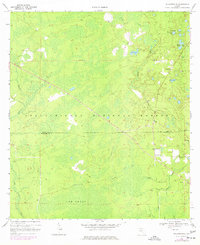
Other maps of this area

1940 · Tallahassee
USGS Topo · 1:62,500

1940 · Arran
USGS Topo · 1:62,500

1942 · Tallahassee
USGS Topo · 1:62,500

1943 · Arran
USGS Topo · 1:62,500

1943 · Tallahassee
USGS Topo · 1:62,500

1943 · Lake Talquin
USGS Topo · 1:62,500

1945 · Bradwell Bay
USGS Topo · 1:31,680

1954 · Tallahassee
USGS Topo · 1:250,000

1959 · Tallahassee
USGS Topo · 1:250,000

1960 · Tallahassee
USGS Topo · 1:250,000