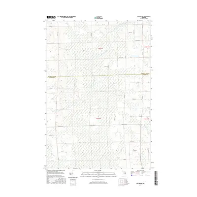
2017 Map of Hillman NE
USGS Topo · Published 2017About this map
Long Swamp and the meandering course of the North Branch Thunder Bay River dominate this portion of Northern Michigan, where the border between Presque Isle and Alpena counties divides the landscape. The region is characterized by extensive wetlands and a network of secondary roads named for early local families and landmarks. The settlement of Friski sits in the southwest corner, situated among small drainage features like Truax Cr. The road network, including Reider School Rd and Molski Hwy, suggests a history of rural education and timber or agricultural development. Tributaries such as Quinn Cr and Salina Cr feed into the primary river system, reflecting the hydrologic complexity of this low-lying territory before it reaches larger coastal basins.
Find a feature on this map
51 named features on this map. Tap any name to fly to it.
Don’t see what you’re looking for? This feature index may not catch every label — zoom into the map to look around manually.
Map Details
Editions of this 2017 Hillman NE Map
This is the sole edition of this map. No revisions or reprints were ever made.
Other maps of this area

1954 · Alpena
USGS Topo · 1:250,000

1955 · Hillman
USGS Topo · 1:62,500

1957 · Alpena
USGS Topo · 1:250,000

1958 · Alpena
USGS Topo · 1:250,000

1969 · Alpena
USGS Topo · 1:250,000

1971 · Hawks
USGS Topo · 1:24,000

1971 · Metz
USGS Topo · 1:24,000

1971 · Polaski
USGS Topo · 1:24,000
1971 · Posen
USGS Topo · 1:24,000

1971 · Lachine
USGS Topo · 1:24,000