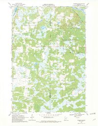
1968 Map of Hillman SE
USGS Topo · Published 1982About this map
Johnsdale sits at the heart of this central Minnesota landscape, where the Soo Line railroad cuts a diagonal path through the marshy lowlands of southern Bradbury and Leigh townships. Surveyed in the late 1960s, the terrain is defined by an intricate network of wetlands and small water bodies, including Skunk Lake in the northwest corner. Large portions of the territory are designated as protected natural areas, specifically the Mille Lacs Kathio State Park and the Rum River State Forest, which preserve the area around the winding Rum River. The presence of the North Fork Bradbury Brook and numerous unnamed ponds suggests a landscape that has historically challenged permanent settlement, leaving much of the land for timber and recreation. Local infrastructure at this time is minimal, highlighted by a lone Radio Tower and a Gravel Pit, reflecting a rural economy based on resource extraction and seasonal land use.
Find a feature on this map
14 named features on this map. Tap any name to fly to it.
Don’t see what you’re looking for? This feature index may not catch every label — zoom into the map to look around manually.
Map Details
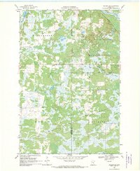
Editions of this 1968 Hillman SE Map
2 editions found
Other maps of this area

1953 · Duluth
USGS Topo · 1:250,000

1953 · Stillwater
USGS Topo · 1:250,000

1955 · Stillwater
USGS Topo · 1:250,000

1958 · Stillwater
USGS Topo · 1:250,000

1958 · Duluth
USGS Topo · 1:250,000

1965 · Stillwater
USGS Topo · 1:250,000

1968 · Onamia NW
USGS Topo · 1:24,000

1968 · Ramey NE
USGS Topo · 1:24,000

1968 · Onamia
USGS Topo · 1:24,000
1968 · Platte Lake
USGS Topo · 1:24,000