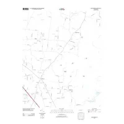
2013 Map of Hillsboro
USGS Topo · Published 2013About this map
Hillsboro and Asbury anchor this 2013 survey of the Tennessee landscape where the Highland Rim meets the Cumberland Plateau. The terrain is defined by a series of distinct gaps and coves, including Lusk Gap, Henry Cove, and Stillhouse Hollow, which dictate the local road network. The rural character is reinforced by numerous springs and branches that feed into Bradley Cr and Beans Cr, illustrating the area's complex hydrology.
Find a feature on this map
119 named features on this map. Tap any name to fly to it.
Don’t see what you’re looking for? This feature index may not catch every label — zoom into the map to look around manually.
Map Details
Editions of this 2013 Hillsboro Map
This is the sole edition of this map. No revisions or reprints were ever made.
Other maps of this area

1893 · Mc Minnville
USGS Topo · 1:125,000

1895 · Mc Minnville
USGS Topo · 1:125,000

1895 · Sewanee
USGS Topo · 1:125,000

1913 · Hollow Springs
USGS Topo · 1:62,500

1936 · Alto
USGS Topo · 1:24,000

1936 · Fredonia
USGS Topo · 1:24,000

1936 · Manchester
USGS Topo · 1:24,000

1936 · Burrow Cove
USGS Topo · 1:24,000

1936 · Morrison
USGS Topo · 1:24,000

1936 · Hillsboro
USGS Topo · 1:24,000