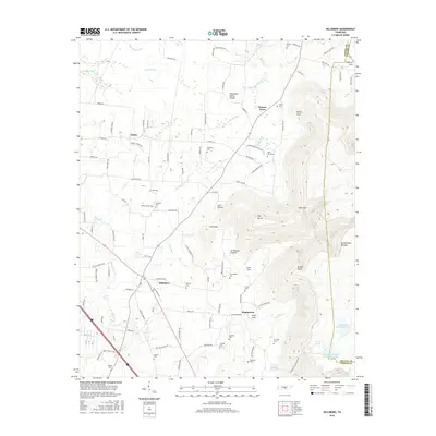
2016 Map of Hillsboro
USGS Topo · Published 2016About this map
Hillsboro and Asbury anchor this region of Coffee County, where the transition from the rolling drainage of Bradley Cr and Blue Spring Cr meets the abrupt rise of the Cumberland Plateau. The landscape is defined by the Tennessee Valley Divide, with local commerce and settlement patterns following roads like Asbury Rd and Pratt Rd. Numerous family burial grounds such as Austell Cem, Gentry Cem, and Womack Cem are scattered across the lowlands, reflecting deep generational ties to the land. To the east, the topography shifts dramatically toward Brooks Point and the complex drainages of Beans Cr, where deep coves like Henry Cove and Lusk Cove carve into the plateau. This 2016 survey documents the persistent rural character of the area, maintaining its identity through small settlements like Stephenson and Winton Town even as modern developments like Cumberland Mountain Lake appear near the Grundy County line.
Find a feature on this map
118 named features on this map. Tap any name to fly to it.
Don’t see what you’re looking for? This feature index may not catch every label — zoom into the map to look around manually.
Map Details
Editions of this 2016 Hillsboro Map
This is the sole edition of this map. No revisions or reprints were ever made.
Other maps of this area

1893 · Mc Minnville
USGS Topo · 1:125,000

1895 · Mc Minnville
USGS Topo · 1:125,000

1895 · Sewanee
USGS Topo · 1:125,000

1913 · Hollow Springs
USGS Topo · 1:62,500

1936 · Alto
USGS Topo · 1:24,000

1936 · Fredonia
USGS Topo · 1:24,000

1936 · Manchester
USGS Topo · 1:24,000

1936 · Burrow Cove
USGS Topo · 1:24,000

1936 · Morrison
USGS Topo · 1:24,000

1936 · Hillsboro
USGS Topo · 1:24,000