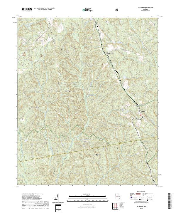
2024 Map of Hillsboro
USGS Topo · Published 2024About this map
The boundary between Jasper Co and Jones Co cuts across a landscape defined by expansive conservation lands and quiet rural settlements. Much of the northern terrain is occupied by the Oconee National Forest, while the southern portion transitions into the Piedmont National Wildlife Refuge. The settlement of Hillsboro serves as a local hub on the eastern edge of the quadrangle, connected to Adgateville further north by a network of local roads including Old Agateville Rd.
Find a feature on this map
36 named features on this map. Tap any name to fly to it.
Don’t see what you’re looking for? This feature index may not catch every label — zoom into the map to look around manually.
Map Details
Editions of this 2024 Hillsboro Map
This is the sole edition of this map. No revisions or reprints were ever made.
Other maps of this area

1951 · Forsyth
USGS Topo · 1:62,500

1953 · Athens
USGS Topo · 1:250,000

1958 · Athens
USGS Topo · 1:250,000

1959 · Athens
USGS Topo · 1:250,000

1963 · Athens
USGS Topo · 1:250,000

1964 · Lloyd Shoals Dam
USGS Topo · 1:24,000

1964 · Gray
USGS Topo · 1:24,000
1964 · Dames Ferry
USGS Topo · 1:24,000

1964 · Stanfordville
USGS Topo · 1:24,000

1964 · Hillsboro
USGS Topo · 1:24,000